Friday, January 10, 2014

Bell Canyon Reservoir

My friend Martha and I were determined to get a hike in this week.  Snow or no snow! (Thursday, January 9)  We started up Big Cottonwood canyon for Donut Falls, but the road became a little too hairy driving for me so we turned around and chose Bell Canyon Reservoir instead.  It was a good choice!   It snowed on us the entire time, but that just added an element of adventure to the snowshoe hike.  It is possible to enjoy the outdoors in almost any type of weather.
The trail to Bell Canyon Reservoir is just east of Wasatch Boulevard on Little Cottonwood Road (9800 South and 3400 East)  The easy access from the city make this trail very popular and well used year round.  We walked around the entire reservoir for a total of 2.2 miles.  I have never seen the reservoir completely frozen over and ducks love this place.
Fresh fallen snow along the trail - beautiful!
Snow makes the ordinary a little extraordinary!
 Christmas wasn't over yet on the mountain!


I came across this quote just today and yes snow is exhilarating!:

"Sunshine is delicious, rain is refreshing, wind braces us up, snow is exhilarating; there is really no such thing as bad weather only different kinds of GOOD weather."    John Ruskin

These photos were taken of Bell Canyon Reservoir in January 2013.

Ducks on the water.
An ice cairn.


♥♥♥♥♥♥♥♥♥♥♥♥♥♥♥♥♥♥♥


******Miles hiked tally
beginning March 22, 2013

210.7

Tuesday, January 7, 2014

Elbow Fork Trail from the Terrace Picnic Area

Let's go take a hike!
And climb to the highest heights.
Let's go take a hike,
To where eagles are soaring!
Up through the evergreens.
Up where the air is clean.
Oh, let's go take a hike! 
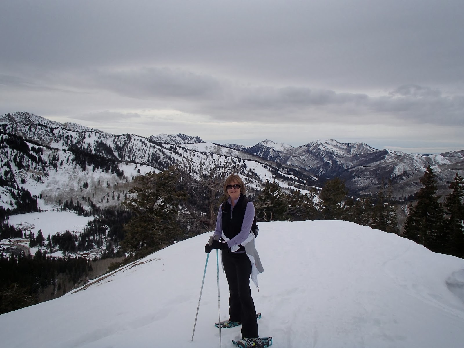
I went to the movie "Saving Mr. Banks" last week and the Mary Poppins tune got stuck in my head so I made up some hiking lyrics.  (I won't get in trouble will I?)  Very good movie by the way.  I returned to Millcreek Canyon for another hike this weekend.  This time from the Terrace picnic area we chose the Elbow Fork trail to the left.  Again no snowshoes needed,  but you will definitely want some type of cleat on your boots.  The trail was icy and steep in some spots.  We decided to do this as a loop hike returning down Millcreek Canyon road to Maple Grove picnic area.  Maple Grove is where the road is closed and gated for winter use.  The total distance hiked was 4.8 miles.  I hiked Elbow Fork trail during the summer and I enjoyed it more as a winter hike.  Within a few minutes of hiking we reached the ridge and our first view of the Oquirrh Mountains.

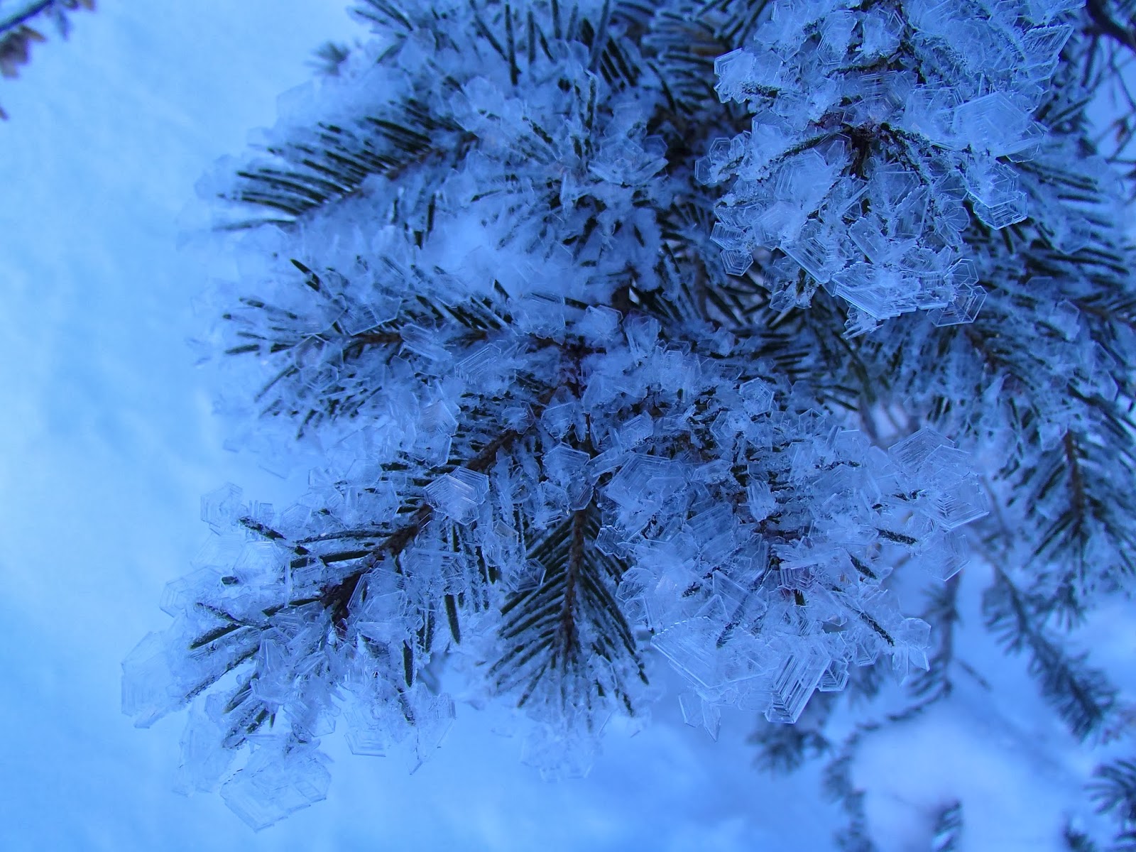
The trail follows the ridge for quite a ways with nice views of Porter Fork before descending back into the beautiful forest.  I absolutely love the dense forest on this hike.
 

 This rock looked like a sharks head with mouth open to devour hikers - think JAWS!
More awesome views like this one of Grandeur Peak opened up as you make your way down the trail to Millcreek Canyon road.

The last few yards of this trail is quite steep but once you cross the footbridge you are back on the main road and back into civilization. We only saw two other hikers on the Elbow Fork piece of the trail.
Millcreek Canyon road is a very popular cross country ski trail and dog walk.  We saw dogs of every shape, size and breed loving every minute of their walk. 
 I also enjoyed every minute of my walk!

♥♥♥♥♥♥♥♥♥♥♥♥♥♥♥♥♥♥♥


******Miles hiked tally
beginning March 22, 2013

208.5


Saturday, January 4, 2014

Bowman Fork Trail

Happy New Year!  2013 will be forever etched in my memory as a fantastic hiking year . . . . feeling so blessed!   I will reflect a little more about 2013 later in this blog entry.   Today (January 3) my sister and I hiked a portion of the Bowman Fork trail in Millcreek Canyon - no snowshoes required, but we did wear cleats that slip on over our snow boots to keep from slipping and sliding on the snow packed trail.  Bowman Fork trail begins at the Terrace picnic area about 4 miles up Millcreek Canyon from the fee station.  Plenty of parking on both sides of Millcreek Canyon road.  You must first walk a quarter of a mile up from the gated road to actually reach the Terrace picnic area.  From the very far end of the picnic area you will find signs for both the Elbow Fork Trail to the left and Bowman Fork Trail to the right.  Bowman Fork is a gradual climb following a small stream through tall evergreens.  It is a delightful trail.  We hiked just over 1.6 miles before heading back down.  Didn't quite make it to White Fir Pass - maybe next time.


Sights along the way.

Looking back at 2013

Starting a new year always makes me take a look back.  I had the best hiking year! - once a week, all year long.  I did learn a couple of things about hiking this year. 1) Regardless of the weather I can get outdoors and enjoy nature! (with the exception of lightning storms) and 2) I always see something interesting and picture worthy!  So here are a few of my favorites from 2013.

Best Snowshoe Hike - April 2013
Guardsman Pass
Most Visually Stunning Hike - June 2013
Lake Blanche
Best Lake Hike - July 2013
Lake Lackawaxen
Best Wildflower Shot - May 2013
Mount Olympus
 Best Animal Shot - July 2013
Mount Tuscarora
Lion King Wanta' be
Best Fall Colors Hike - October 2013
Mount Aire
                   Favorite Nature Quote
 Thanks so much for reading my blog!

♥♥♥♥♥♥♥♥♥♥♥♥♥♥♥♥♥♥♥


******Miles hiked tally
beginning March 22, 2013

203.7


Thursday, December 19, 2013

Ridge East of Brighton Ski Resort

Our snowshoe hike this week was the ridge directly east of Brighton Ski Resort.  I don't know the name of this area, if it even has a name? Very  sorry!  To get to our hiking destination take the road to Guardsman Pass until you can go no further.  The majority of the Guardsman Pass road is closed and used for snowmobiles during the winter.  Make sure to park down the north side of the road away from the turnaround. (Snowmobile trailers need to use the turnaround.)  Walk past the gate that closes the road and under a very large power pole, keeping to your right and continue up the distinct trail.  Soon you will be looking down onto Brighton Ski resort's parking area and in full view of the majestic mountains.  This trail is a steep one and one I would probably avoid this area when avalanche danger is high.  We hiked for about a mile, pretty much straight up and was treated to some great mountain vistas and gnarled old trees.  It was a warm 43 degrees at the start of our hike!  Crazy!!  But no sunshine, boo hoo.  However, not a hike goes by that doesn't leave me feeling blessed for having done it.  Something about nature gets in your blood ♥

Mountain Vistas 


Gnarled Old Trees


Lightning struck this poor old tree.

 
Rabbit tracks??

Some kind of party going on in these mountains!

 (Expected to see some intoxicated, naked people)

♥♥♥♥♥♥♥♥♥♥♥♥♥♥♥♥♥♥♥


******Miles hiked tally
beginning March 22, 2013

200.2

Friday, December 13, 2013

Days Fork Trail

The Days Fork trail begins at the Spruces campground about 10 miles up Big Cottonwood Canyon.  Days Fork is a long side canyon heading directly south from the Spruces parking area and is a well established snowshoe and cross country ski trail.  This was my first time exploring Days Fork and I found yet another great hiking / snowshoeing trail in Big Cottonwood Canyon!  I have mentioned an awesome website on my blog before as an excellent guide for snowshoe trails.  A perfect description for the Days Fork trail #27 can be found at  http://www.snowshoeutah.com/  (Look in the Table of Contents for trail info).  


 In all things of nature there is something of the marvelous!  -Aristotle


Today it was finding and photographing ice crystals!

What powerful force of nature could have toppled this giant tree? 
We hike for about 1 3/4 mile to an open meadow before turning around and heading back down canyon. 
View from the meadow
 
Oh and by the way, it was warmer at Spruces campground at 29 degrees than at my house in Cottonwood Heights at 23 degrees.  Just sayin'!!


♥♥♥♥♥♥♥♥♥♥♥♥♥♥♥♥♥♥♥


******Miles hiked tally
beginning March 22, 2013

198.1