"We don't stop hiking because we grow old,
we grow old because we stop hiking" -Finis Mitchell
we grow old because we stop hiking" -Finis Mitchell
I was a bit disappointed with my snowshoe trail selection this week. Probably because I was expecting sunshine in the mountains today and there wasn't much. The views of Mount Superior would have been so much more spectacular with more sun. Oh well! C'est la vie! The hike to Twin Lakes Pass begins at the summer access road to Albion Basin near Alta Ski Resort in Little Cottonwood canyon. Park at the very end of the road and head up the groomed ski trail past the "road closed" sign and the many grooming cat machines. After about a quarter mile take the cat track heading north straight up the mountain. I didn't find it very fun to walk up the cat tracks, but the snow conditions today were less than great - too crusty! Complain, complain, complain. And I didn't like hiking under all the power poles! Done complaining - I am so lucky to be able to hike each week! We did have a lot of fun coming down through Grizzly Gulch on the return. And lucky that avalanche danger was low in this area. Here are pictures of my less than perfect day on the mountain.
Going Up
 |
| Mount Superior |
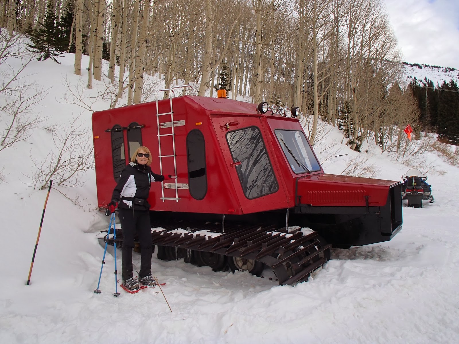 | |||
| Snow grooming cat |

 |
| Up above the cabins |
 |
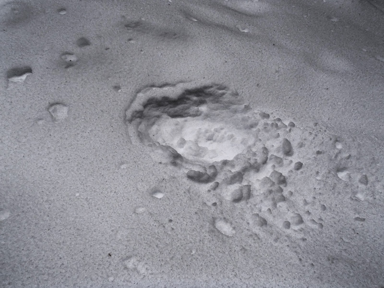
| Strange looking snow mounds. |
 |
| Power poles - ugh |
Going Down
 | ||
| Down Grizzly Gulch - I think? |
 |
| Wind whipped snow |
 |
| Mount Superior from the Gulch. The sun is trying to peak through. |
 |
| Sunshine!! |
 |
| Pines covered in cones. |

♥♥♥♥♥♥♥♥♥♥♥♥♥♥♥♥♥♥♥
******Miles hiked tally
beginning March 22, 2013
Beginning of this Blog
Beginning of this Blog
226.6