Saturday, April 4, 2015

Drift Creek Falls - Oregon

It's been a while!  I have been hiking, at least once a week all winter (did we have a winter???) revisiting all my favorite trails, sometimes on snowshoes, sometimes with microspikes and often with missile sled in tow.  I also had the opportunity this winter to hike a couple of trails in Oregon, coastal Oregon to be exact and one of my absolute favorite new discoveries is the subject of my blog post today.  Drift Creek Falls! in the Siuslaw National Forest.  The trailhead was challenging find (9 miles on a single lane winding logging road through dense forest), but the pay off was a beautiful 65 foot waterfall and 240 foot long cable suspension bridge.


I fell in love with the mossy greenness of Oregon forests.  And yes, it rains in coastal Oregon a lot!  But the trick is being prepared for the rain and hiking anyway.  You just need good rain gear and rubber boots.  And don't worry about how bad your hair looks!  On my hike this day I had rain, hail, sunshine and a little more rain.


Sun peeks our for a little while.  
Plants I saw along the hike.
Banana slug.

Drift Creek Falls is found east of Lincoln City, Oregon.  From Highway 101 north of Lincoln City take state road 18 towards the tiny town of Otis and after about 3.5 miles on SR 18 you will come across signs for Drift Creek Falls.  From the turn towards Drift Creek you are on a very narrow winding road (good news - the road is paved)  to the trailhead.  Watch out for large logging trucks.


Saturday, January 10, 2015

Burch Hollow Trail

The Burch Hollow Trail in Millcreek Canyon is a great winter hike and a nice escape from the poor air quality of the Salt Lake Valley.  The trailhead is located about 4 miles up Millcreek Canyon just past Porter Fork with parking on the left side of the road.  On busy weekends throughout winter parking will be limited for this trailhead.
Burch Hollow connects with the popular Pipeline trail after about half a mile.  At the Pipeline junction take a right turn towards Elbow Fork trail.  The trail gradually climbs the south facing slope until it levels off for a nice stroll along the mountainside, high above the inversion.  After 3 miles of hiking you will arrive at the Elbow Fork trail and the groomed road leading back to the car for a 5 mile loop hike.  Wonderful winter exercise - outdoors!  Cross country skiers and dog walkers make good use of this road.  The entire trail is well packed so snowshoes are not necessary, a nice pair of microspikes added to winter boots work perfectly.  I know I sound like a broken record, but the mountain views are awesome.


The trail along the Pipeline is on a south facing slope which is perfect for sun and warmth even when the valley temperatures deep into the teens.  Here are a few winter trail shots.
The miles fly by and before you know it you have hiked the 3 miles to reach Elbow Fork Trail and the groomed road back down Millcreek Canyon.  And good news!  The restrooms are open for winter - although VERY smelly! (But if you got to go you got to go, right)  
We hiked on a busy Saturday afternoon and the parking lots were very full.  The Salt Lake area definitely has many outdoor enthusiasts.  Winter hiking is a wonderful pastime.  Trust me you will love it!  But get yourself a pair of spikes.  I got a pair of Kahtoola Microspikes for Christmas and I love them!  Some type of traction for your boots is a necessity for winter hiking.  The Kahtoola Microspikes are pictured below. 
Kahtoola MICROspikes Traction SystemProduct Details
 Get outdoors!  Get into nature!  You will be glad you did!

Thursday, December 11, 2014

Mule Hollow Trail

Mule Hollow trail leads to yet another abandoned ore mine in Big Cottonwood Canyon.  This trail is found 3.2 miles up Big Cottonwood road just past Storm Mountain picnic area with parking on the north side of the road.  The trail follows a stream bed - zigzagging back and forth across the rocky, dry stream numerous times and steadily climbing up the Mule Hollow canyon drainageAfter hiking the narrow canyon for about 1.3 miles with an elevation gain of 1400 feet, the trail ends at the tailings dump from the old mine.  All that remains is an old rail track coming from the caved in mine portal and rusty artifacts from what was once a miners cabin.  The geology of Mule Hollow canyon was interesting with several large deposits of shale along the route as well as impressive views of Storm Mountain and Stairs Gulch.  It was a perfect hike for such an unseasonably warm December afternoon!  And did I mention that we also sighted Big Foot on the trail??  And took pictures!!  I have the BEST time while hiking!


A few obstacles to overcome on the trail.


Shale deposit
Tailings to climb and we have arrived at the mine site.
Rail from the old mine portal.
Not a bad view!
Big Foot Sighting!  WHAT!!

He was a very friendly Big Foot!
♥ ♥ ♥ ♥ ♥ ♥ ♥ ♥ ♥ ♥


take-a-hike-594

Friday, November 28, 2014

Mill B North Fork Trail

I can't believe I ignored Mill B North Fork Trail for so long.  It is a wonderful hiking trail (like so many in our canyons) located 4.4 miles up Big Cottonwood Canyon.  Parking for this hike is found right in the middle of the S - curve.  Climb up a few rough stairs and cross the highway to the north.  Look both ways before you cross the road kids!  This is also where Hidden Falls is located so make sure you take a look at the falls either before or after hiking Mill B North Fork Trail.  The trail starts off steep by climbing another series of stairs but soon the trail becomes more of a gradual up following a pretty stream then through a forest of tall firs.  This canyon is south facing which makes for a perfect late fall hike, especially when the sun is shining on a crisp, cool day.  After about 1 mile you will come to the first overlook on a rock outcrop about 20 feet to the right of the main trail.  Great views of Big Cottonwood Canyon.  We hiked for about 2 1/4 miles before turning around but the trail continues on and after about 3.5 miles will hook up with the Desolation trail coming from Millcreek Canyon.  I seriously can't wait to explore this trail again - with a little more daylight and at least make it to the Desolation trail junction.
Mill B North Fork trail heading in the direction of Millcreek Canyon
Lovely forest
More lovely forest!
A little bit of an obstacle on the trail.
Fuzzy caterpillar almost got stepped on.
Looking down on a very hazy Salt Lake valley.
Looking down on the S - curve and parking for Mill B North Fork trail.

Make sure to take a peak at Hidden Falls!  It is pretty awesome!!

I'll end with a favorite quote from Henry David Thoreau. "It's not what you look at that matters, it's what you see."  Open eyes to the beauty of nature that surrounds us.

Monday, November 17, 2014

Ferguson Canyon

Ferguson Canyon is probably one of the most unique canyons we have in such close proximity to Salt Lake City and one that doesn't get a lot of attention.  It is a very steep, narrow canyon with towering rock formations on both sides - a rock climbers paradise.  The most narrow sections of Ferguson Canyon made me feel like I was hiking through a slot canyon in southern Utah.  Other times I felt like I was walking through an enchanted forest following a small stream covered with moss and beautiful ferns still very green in mid November.  Also there were delightful small waterfalls starting to icicle over.    Our destination was a ridge overlook 1 3/4 miles up the canyon, elevation gain of 1600 feet, with impressive views of the Cottonwood Heights City and down into the mouth of Big Cottonwood Canyon - exploring new territory here.  Did I mention this canyon is very steep in some parts, most notable on the way down, almost scary steep - use extreme caution coming down.  
Towering rock cliffs
 
Under the tree arch.
Small waterfall with icicles.
Very hairy, moss covered rock.
Trail iced over and very slick.
Ice art!
Rock formations at the ridge overlook.
Views from the top!
Looking down on Cottonwood Heights City and then a little further Big Cottonwood.
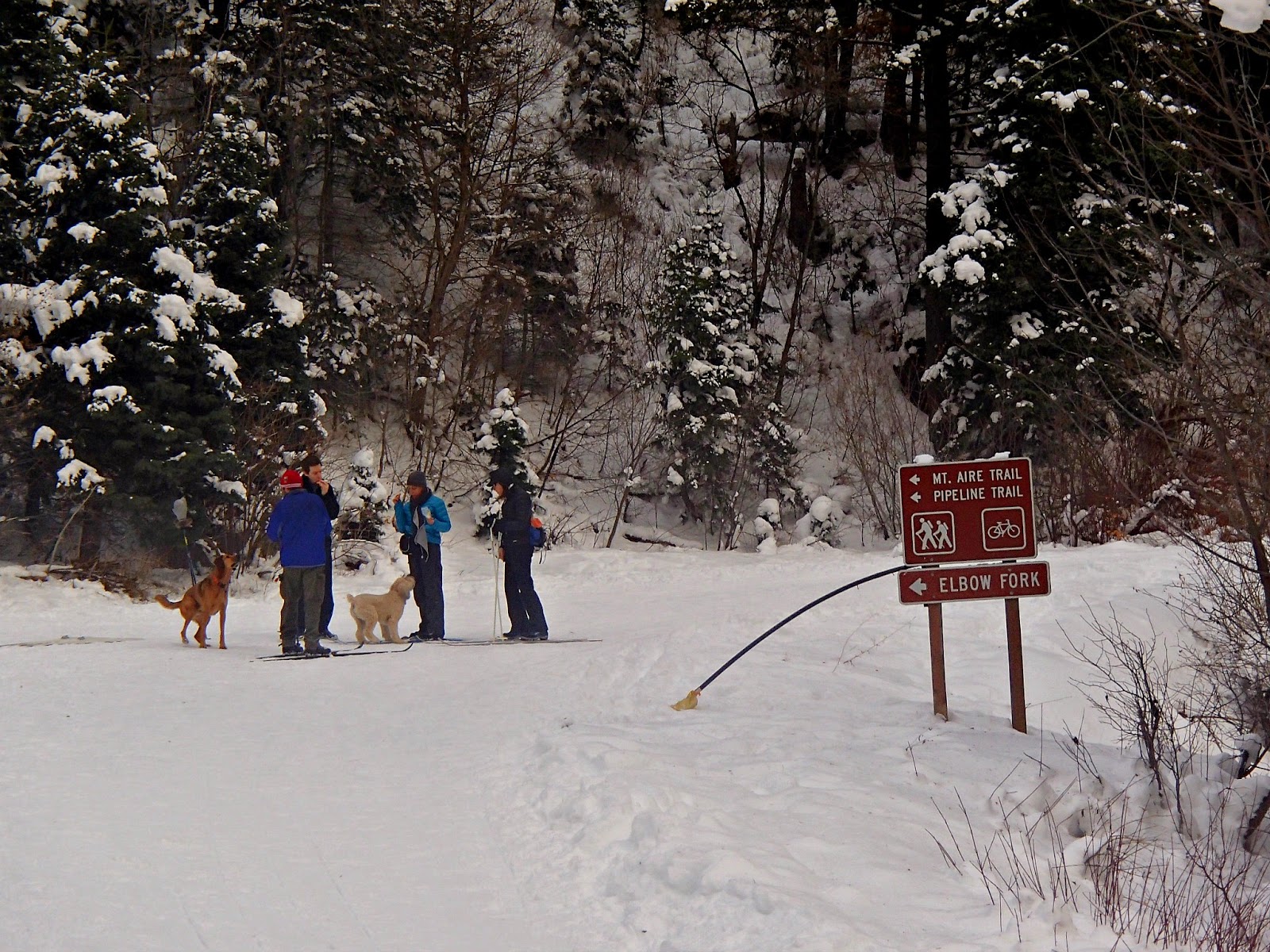
Ferguson Canyon is located just east of Wasatch Boulevard and 7800 South with the trail starting from a residential area of Cottonwood Heights City.  Follow Honeywood Cove Drive to Top-of-the-world Drive, turn left and then turn right on Timberline Drive (7780 South).  Cottonwood Heights city built a fabulous new trailhead a few years ago with parking spots and a mini amphitheater.  The trail wraps around left of the water tower and then descends into the canyon before climbing up to the ridge overlook.  This trail is very dog friendly.


♥♥♥♥♥♥♥♥♥♥♥♥♥♥♥♥♥♥
  

Please!  I would love to hear from readers of my blog.  Your thoughts and comments are greatly appreciated!


******Miles hiked tally
beginning March 22, 2013
Beginning of this Blog
400.5